


Kumpare ei ollut harjanteella, oli reunassa.
The hill wasn't at the middle of the ridge.


Ei näy aitaa.
Can't see the fence.


Missä aita ?
Fence ?


Hidas maapohja ja keltaista ?
Slow undergrowth to run and yellow symbol?
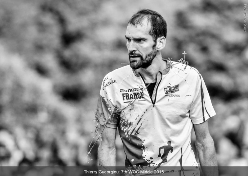
After visiting ...


Maassa oli vaijeri, siinä oli koko aita ko. kohdalla.
Here it is! Under grass and thick vegetation you can find a wire. Hardly a fence, I must say.


Paras versio ?
The best version of the map without a fence? Fence that was hidden. Furthermore, the few visible parts were hanging very low, max 40 cm above the ground.
Olen melko varma, että tällä versiolla kaikki olisi menneet samalla tavalla rastille seuraten polkua eikä kiinni aitaan ja lipulle. Tässä vaiheessa kisaa parhaat vetää käytännössä aika muistilla isolla elementillä, koska kartan mukaan näin olisi. Harmi että karttaa ei ollut ainakaan vuoteen tarkistettu ko. kohdalta. Erityisesti risut ratamestareille, valvojille ja koejuoksijoille.
I'm pretty sure that with this edited map all the competitors would have chosen the route following path and open area. Not trying to follow the fence and green or path. Unfortunately medals were re-shared at this point. Was it fair for all the competitors (path/fence selection lottorie) ?
This part of map has probably not been updated or checked in last summer (green+yellow). Mapmaker might not have thought this part of the terrain being most vulnerable in terms of symbology, accuracy when measuring the best orienteerer in middle distance, so he or she is definitely not to blame
Who is responsible? Have the planners and controllers or test runners tried or even imagined running the last part with full speed fighting for every seconds gasping for breath and feeling the pain of 30 min hard exercise?